 |
 |
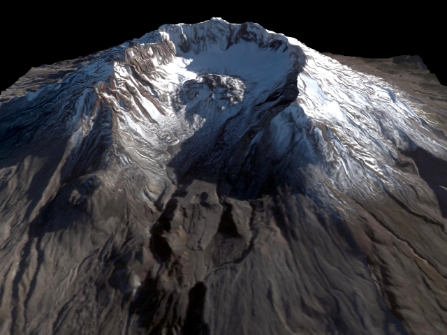 |
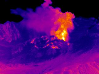
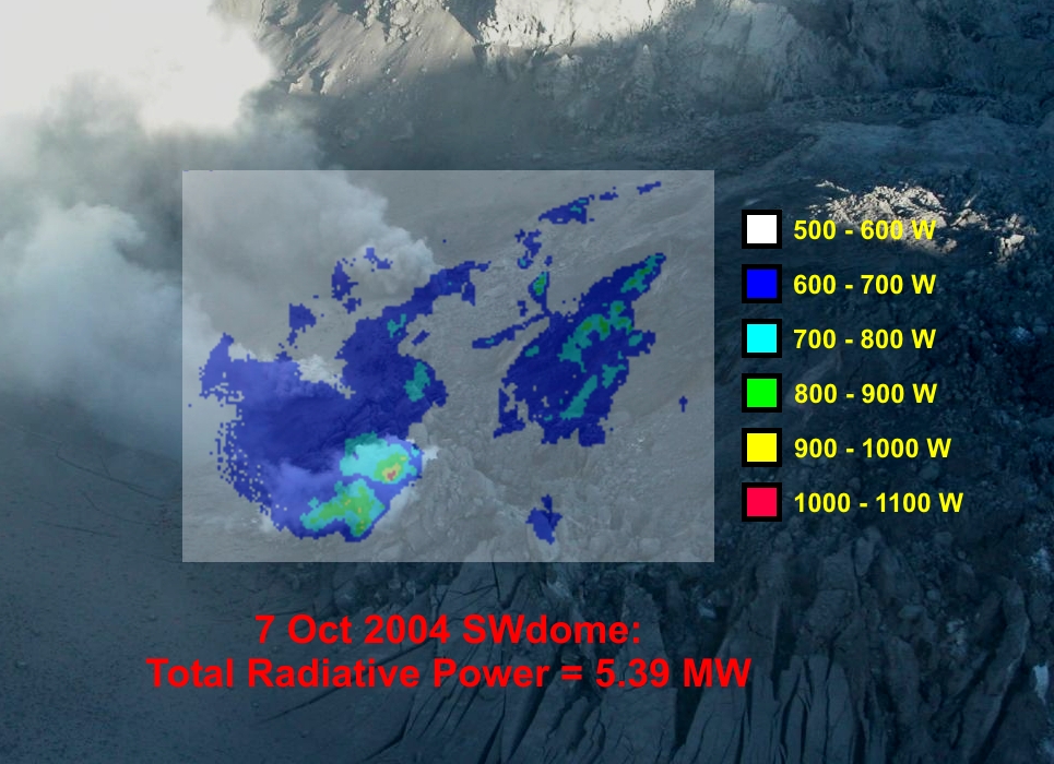
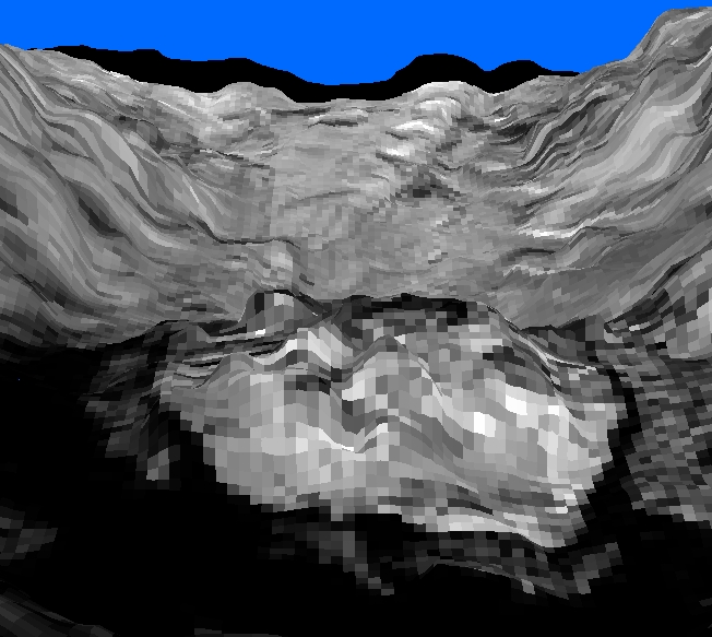
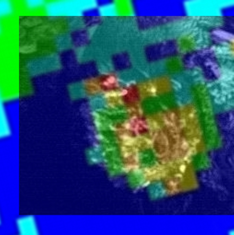
| FLIR remote measurement from Johnson Ridge of ash eruption (10/11/04) | FLIR airborne data (radiant power) of the dome (10/07/04), SW-view | MASTER visible image (09/24/04), ASTER 15m DEM (2002): SE-view (c/o Vince Realmuto, JPL) |
 |
 |
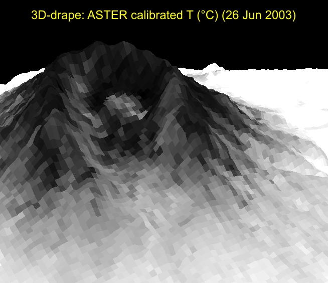 |
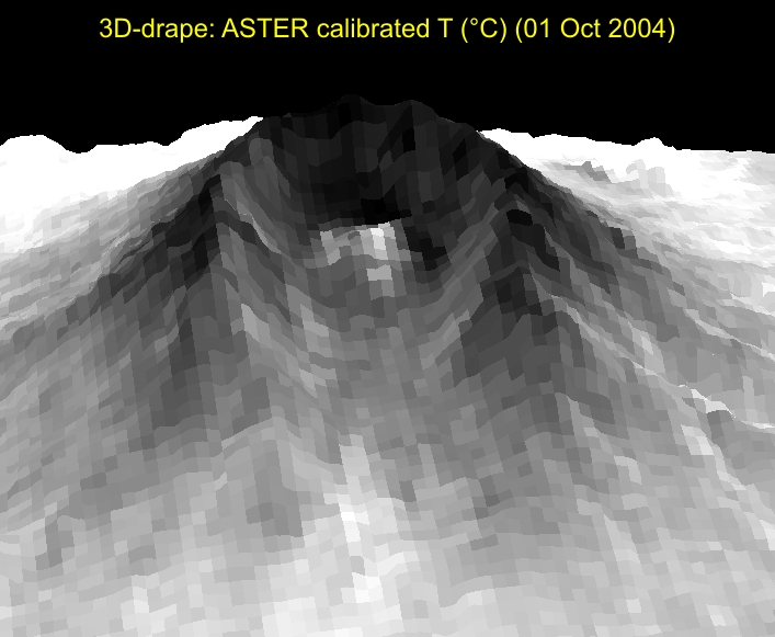
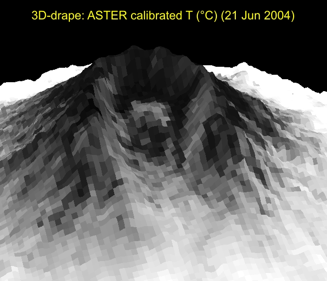
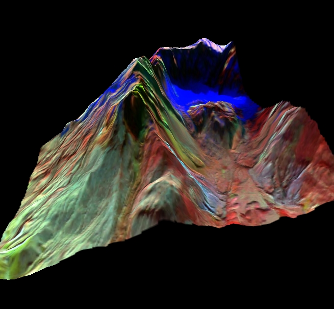
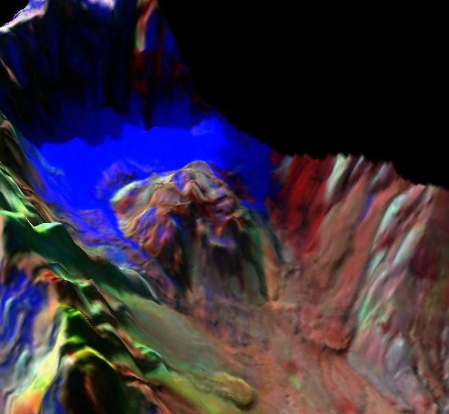
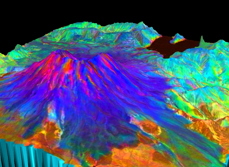
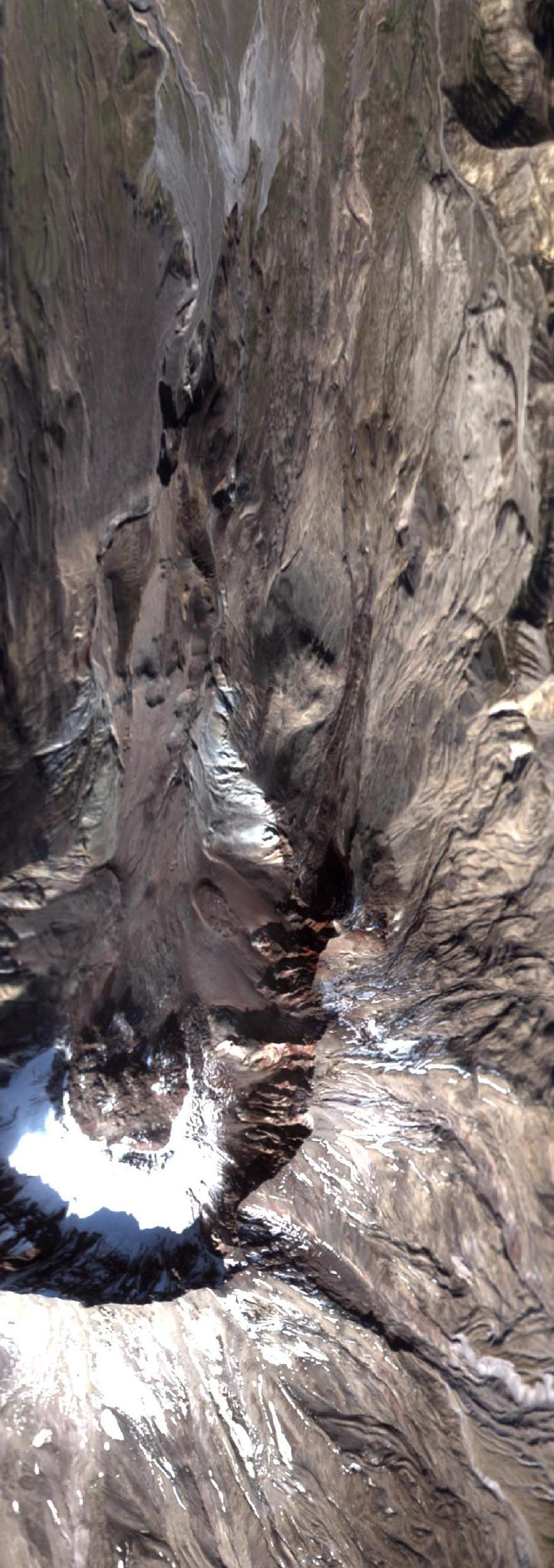
| ASTER calibrated temp (10/01/04), ASTER 15m DEM (2002): SW-view | ASTER calibrated temp (06/21/04), ASTER 15m DEM (2002): SW-view | ASTER calibrated temp (06/26/03), ASTER 15m DEM (2002): SW-view |
 |
 |
 |
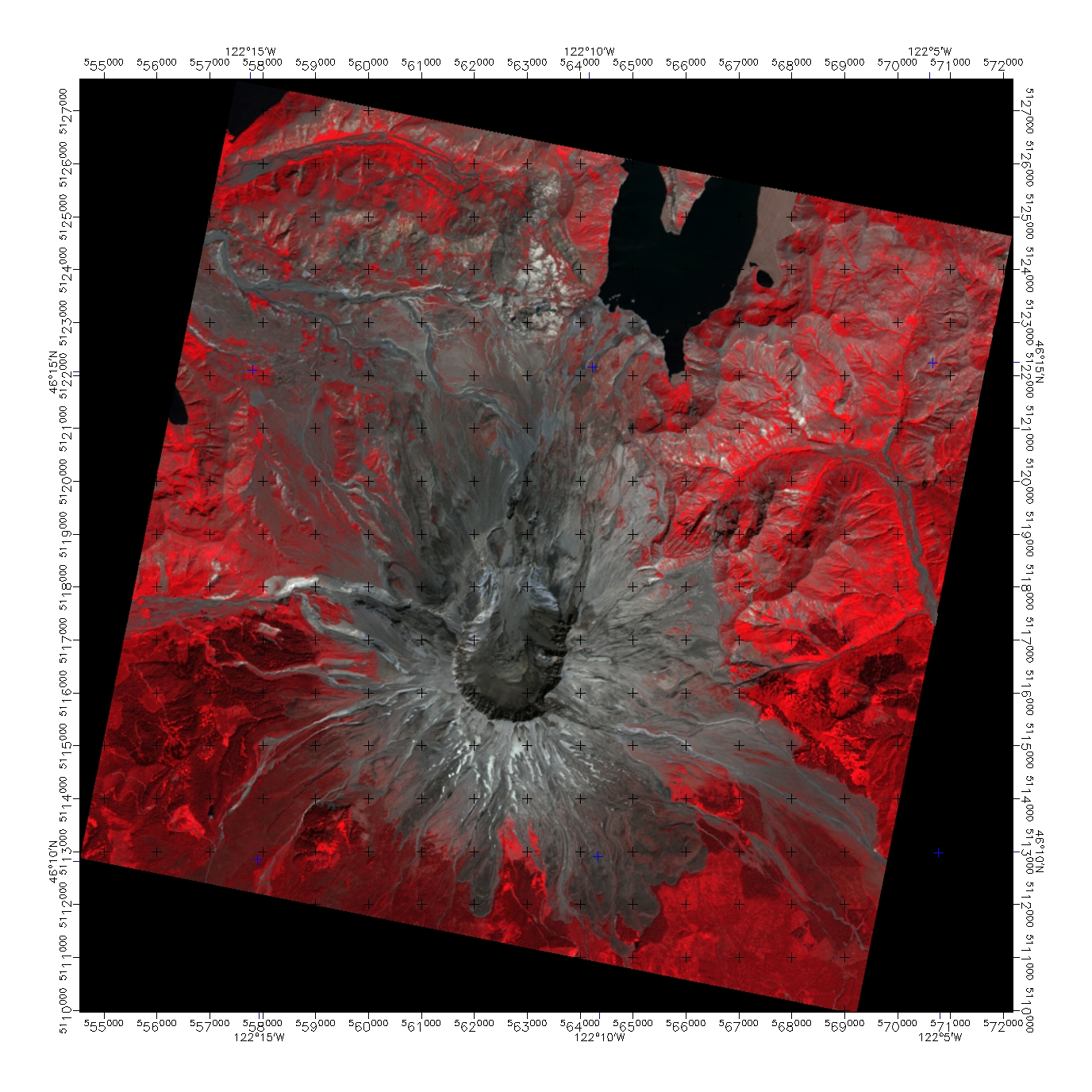
| MASTER B44 quicklook (9/30/04), ASTER 15m DEM (2002): SE-view | MASTER B44 quicklook (9/30/04), ASTER 15m DEM (2002): interpolated | MASTER B44 quicklook (9/30/04), ASTER 15m DEM (2002): N-view |
 |
 |
MASTER B44 quicklook
MASTER B44 quicklook MASTER R44G12B02 quicklook MASTER R44G12B02 quicklook MASTER R5G3B1 quicklook MASTER R5G3B1 quicklook |
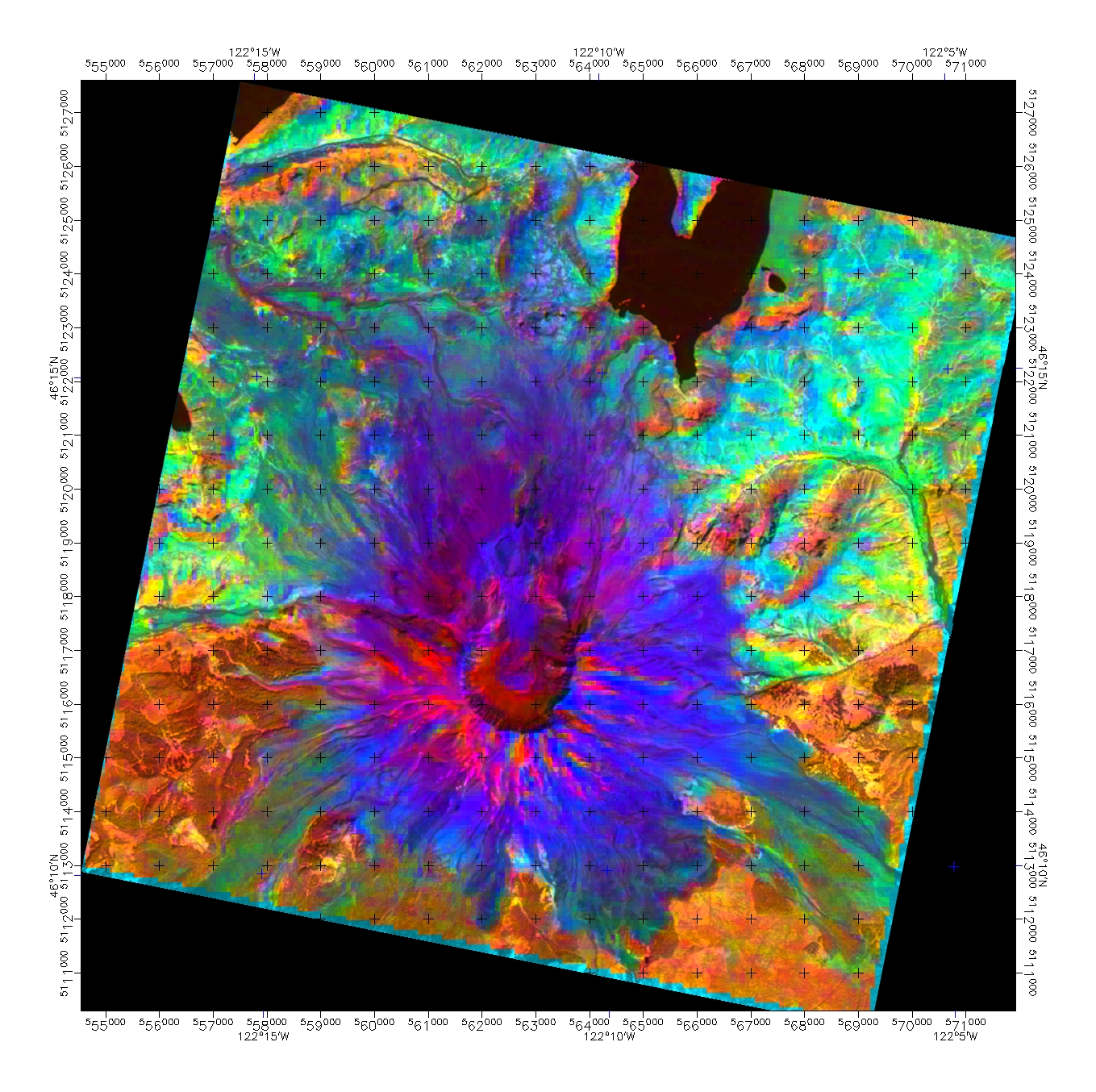
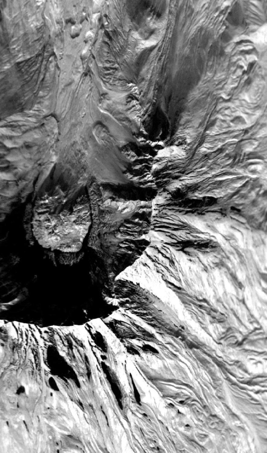
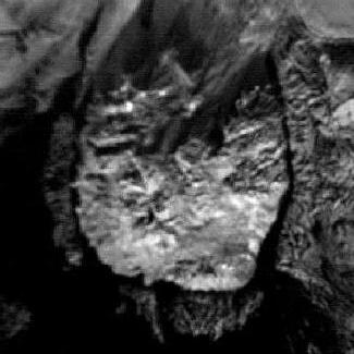
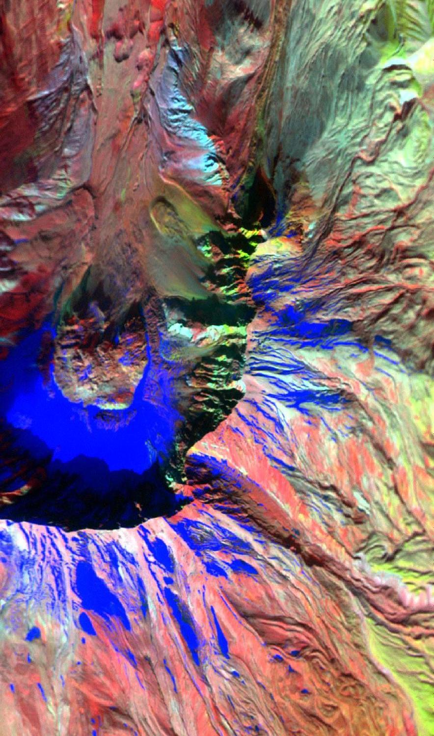
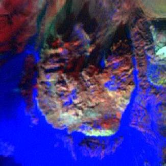
| MASTER color quicklook (9/30/04), ASTER 15m DEM (2002): S-view | MASTER color quicklook (9/30/04), ASTER 15m DEM (2002): SW-view (dome) | |
 |
 |
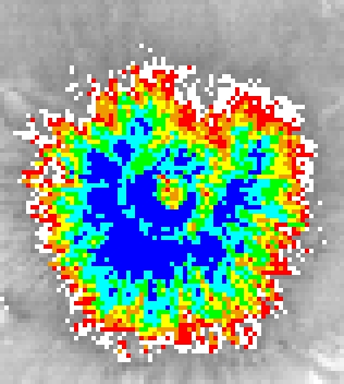 |
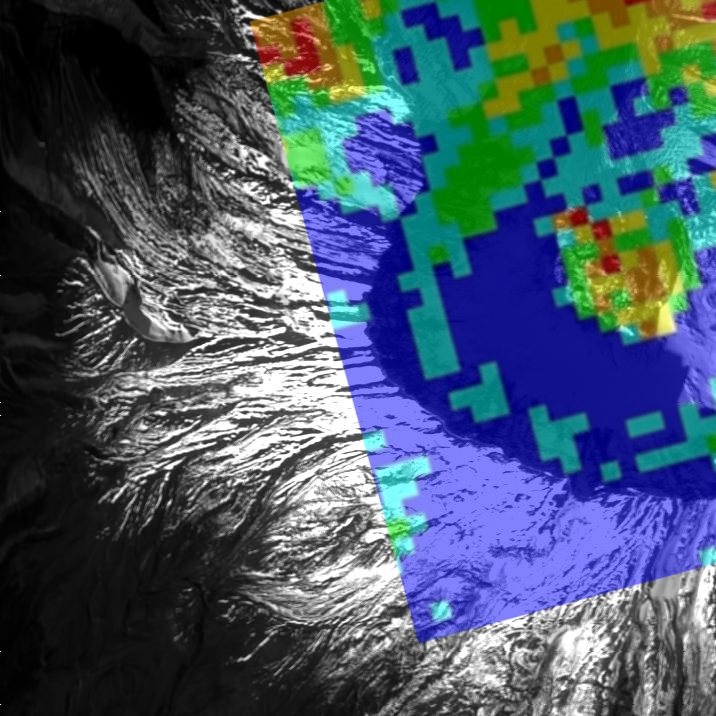
| MASTER B2 quicklook (9/30/04), ASTER 90m TIR (6/21/04) | MASTER B44 quicklook (9/30/04), ASTER 90m TIR (6/21/04) | ASTER 90m TIR (6/21/04): color coded 1C increments from 0-7C |
 |
 |
 |
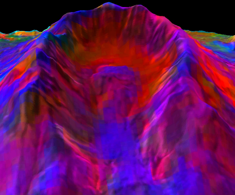
| ASTER TIR D-stretch (8/14/02), VNIR sharpened, ASTER 15m DEM: S-view | ASTER TIR D-stretch (8/14/02), VNIR sharpened, ASTER 15m DEM: NW-view | ASTER TIR D-stretch (8/14/02), VNIR sharpened, ASTER 15m DEM: SE-view |
 |
 |
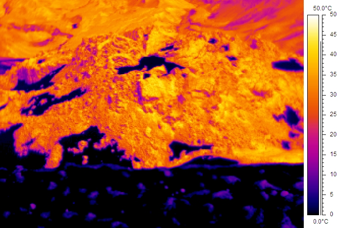 |
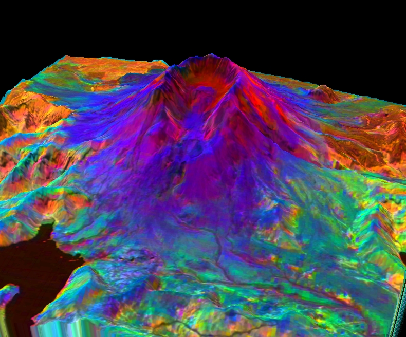
| ASTER TIR D-stretch (8/14/02), VNIR sharpened, ortho-rectified map | ASTER VNIR (8/14/02), ortho-rectified map | FLIR image (7/16/04): N-view from rim
AVI file (10.6 MB) |