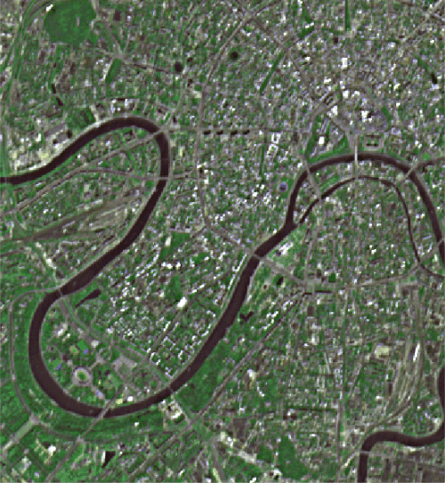
(A)
|
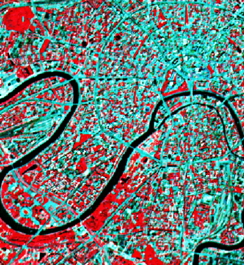
(B)
|
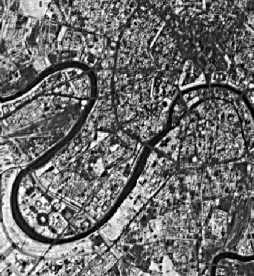
(C)
|
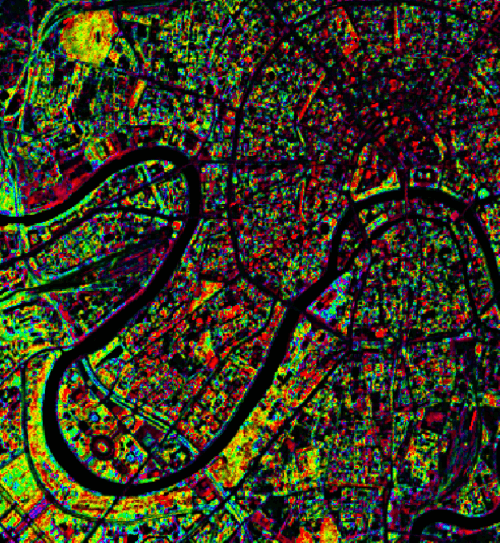
(D) |
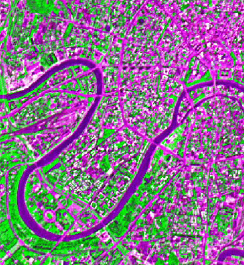
(E) |
Figure 2. Data processing algorithms applied to SPOT XS data of the Moscow metropolitan region. Processing similar to what was performed here will be initially applied to the requested ASTER datasets and will result in data products immediately useful for the urban scientist and planner. Initially, detailed georeferenced base mapping will be completed, followed by change analysis with respect to both urban construction, urban deconstruction and seasonal vegetation changes. The higher resolution and expanded multispectral characteristics of the ASTER datasets promise a much higher quality of both characterization and change detection then shown in the images below. (A) RGB Pseudo True Color Image; (B) False Color Composite [R-Band 1; G-Band 2; B-Band 3]; (C) Normalized Difference Vegetation Index (NDVI); (D) Hue-Rotation Transform False Color Composite; (E) Brovey Transform False Color Composite. Click on any image above for a larger version.