| |
|
|
 |
|
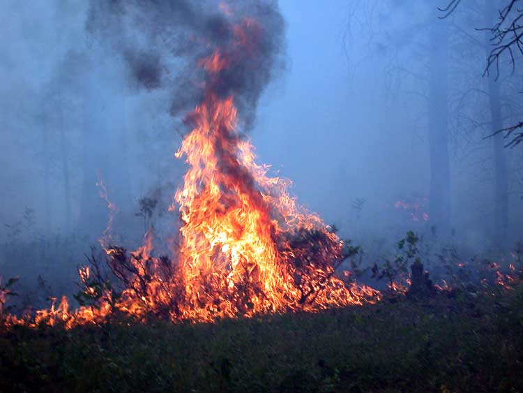
Project Summary The number of forest fires has increased dramatically over the past five years in western areas of the United States, due to both human and natural causes. Urban areas, such as the city of Phoenix, continue to increase in size and population, with a majority of the development occurring in rural areas that have burned, or are threatened by brush fires. As people move into these environments there is an increased risk of damage to human property and lives due to fires. These areas have experienced a number of recent brush fires that have been expensive to fight, and caused a considerable amount of property damage. The ability to predict and control fires is thus increasingly important as urban centers encroach upon rural lands. Remote sensing can be utilized to characterize fire scarred areas, and predict areas that have an increased risk for burning again in the future. ASTER,
Landsat ETM, TIMS, and SIR-C remote sensing data have been combined
with GIS to characterize fire scars in the semi-arid urban area
outside of Phoenix, Arizona. This data was used to quantify the
relationship of fire scar age to vegetative recovery, and to determine
the control of local topography on fire behavior. |
|
Contact me |