Projects
ASTER Imagery
Links
Personnel
Publications
Remote Sensing Tutorial
Unix Tutorial


Search for ASTER L1B data! Find the Terra Spacecraft!


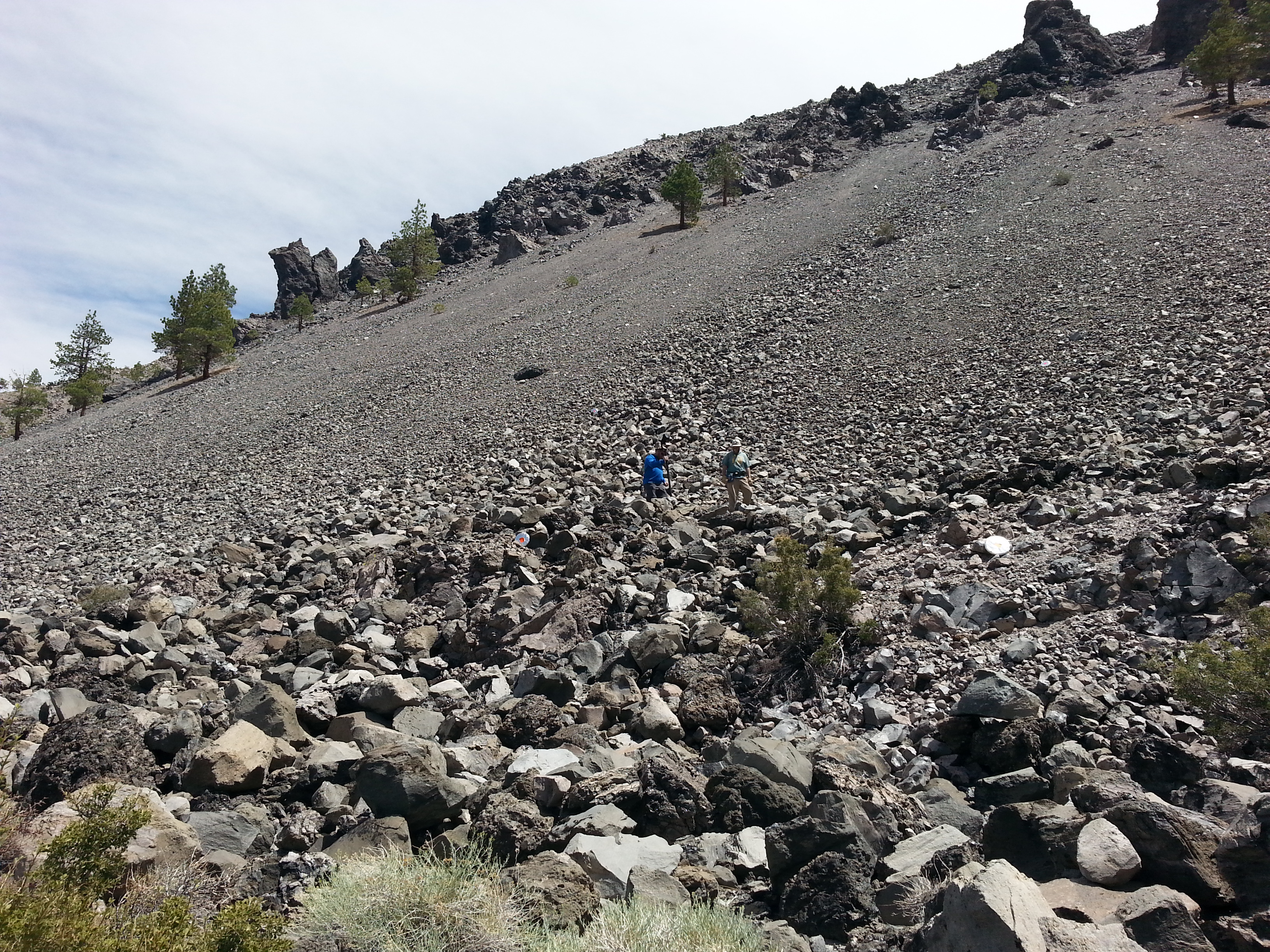
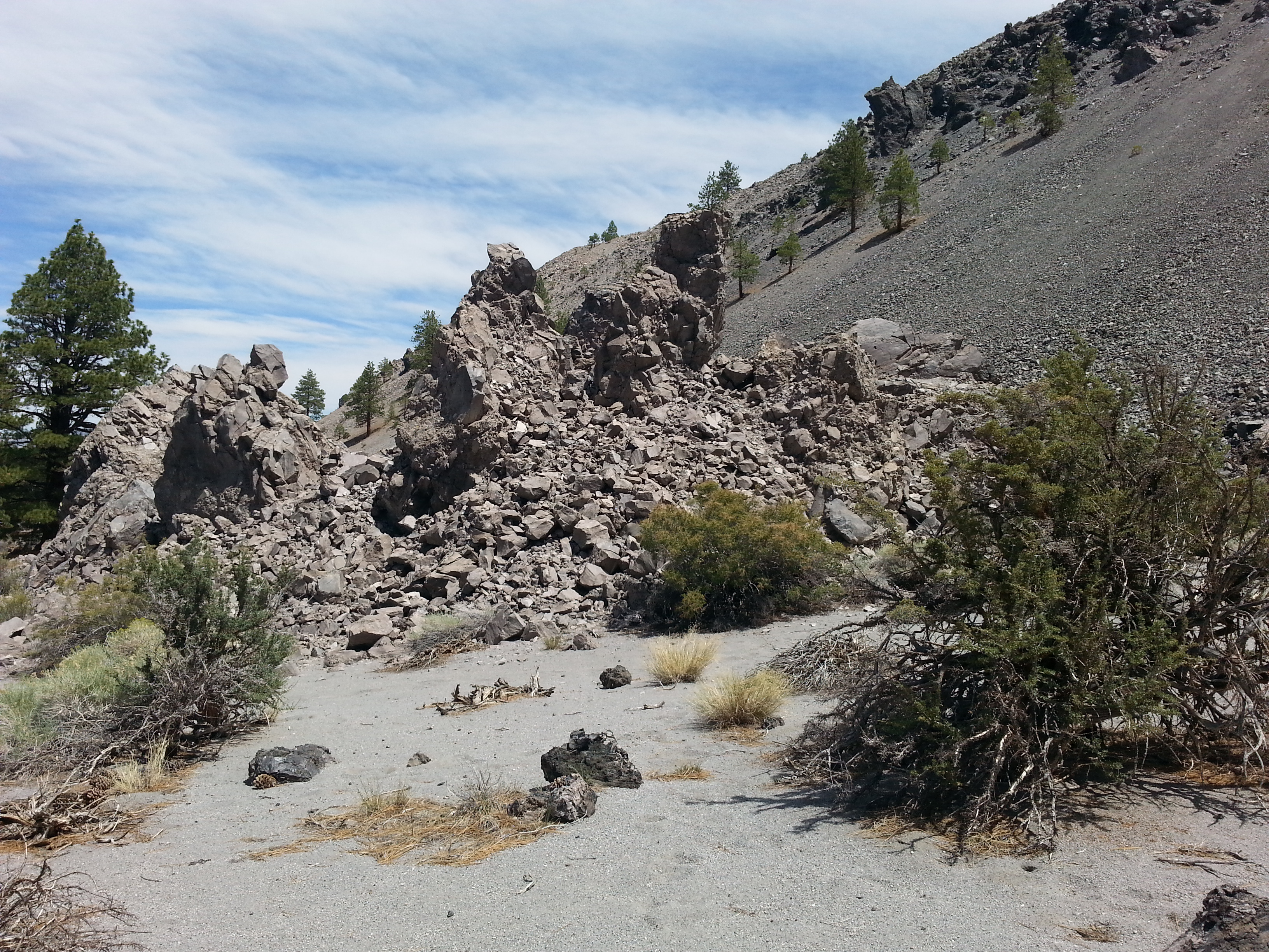
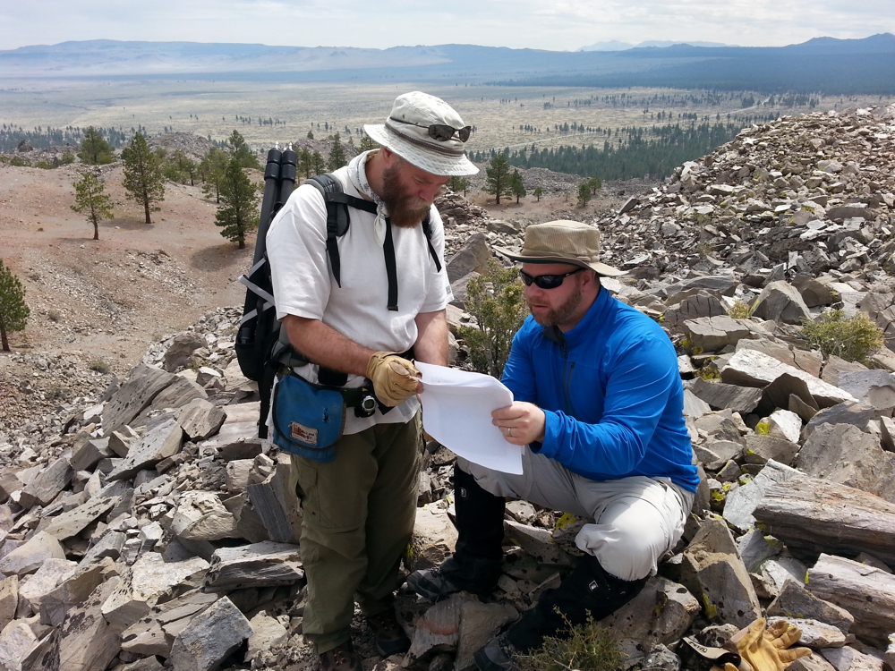
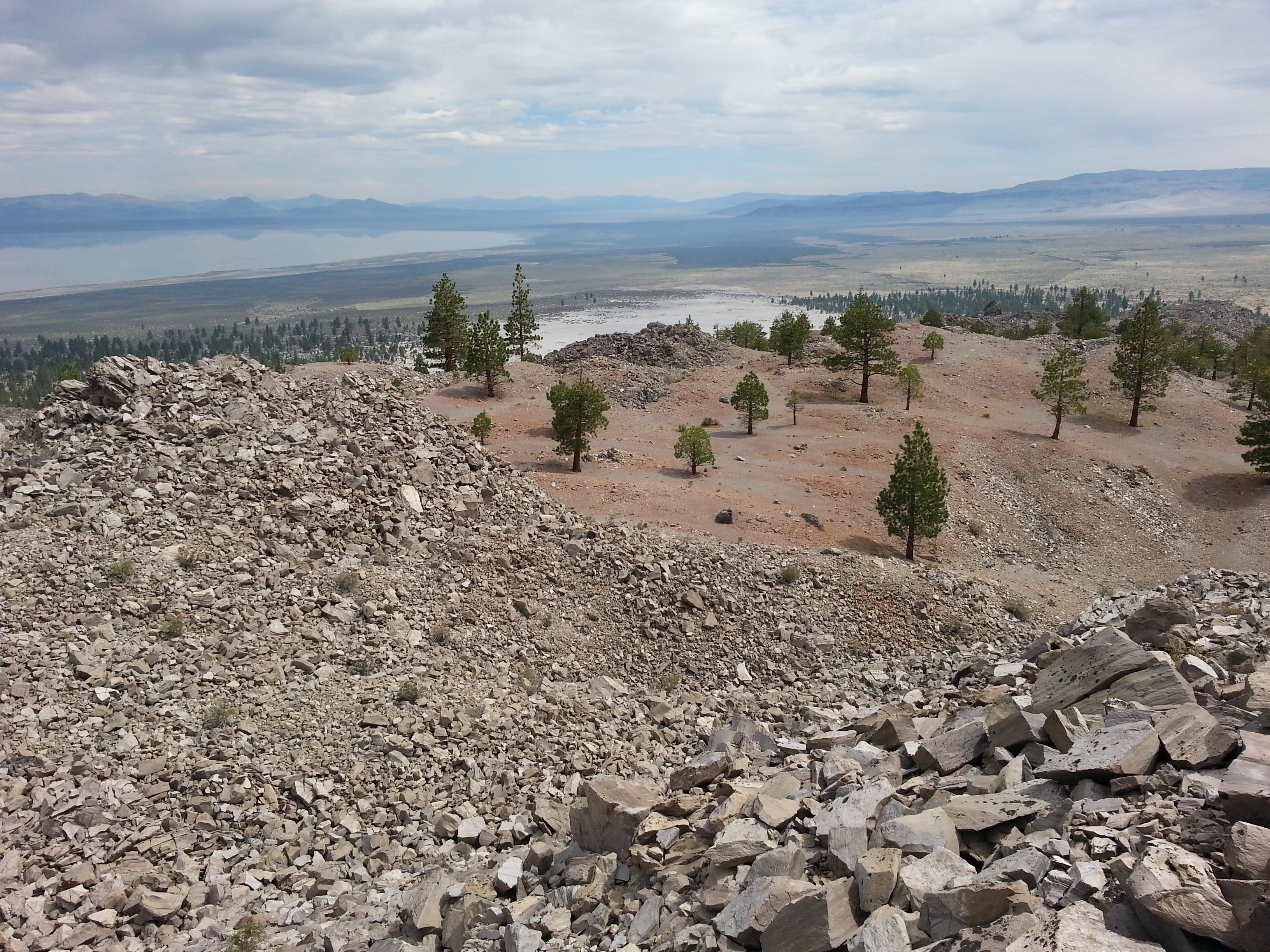
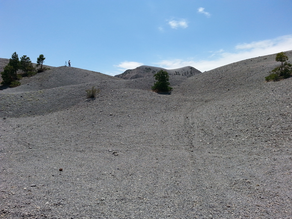
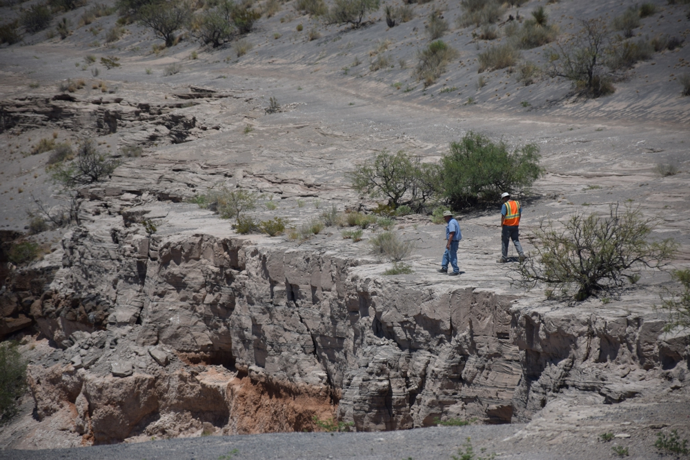
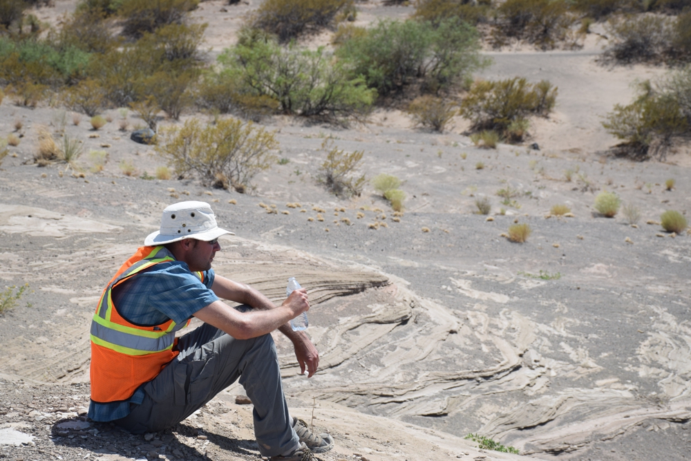
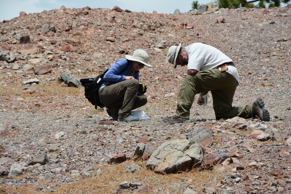
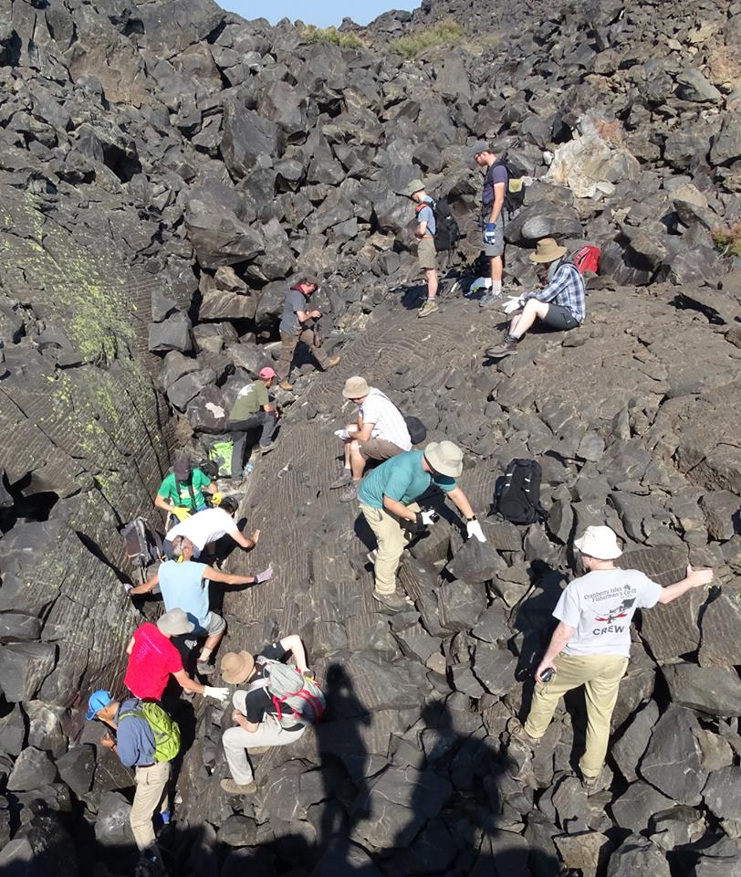
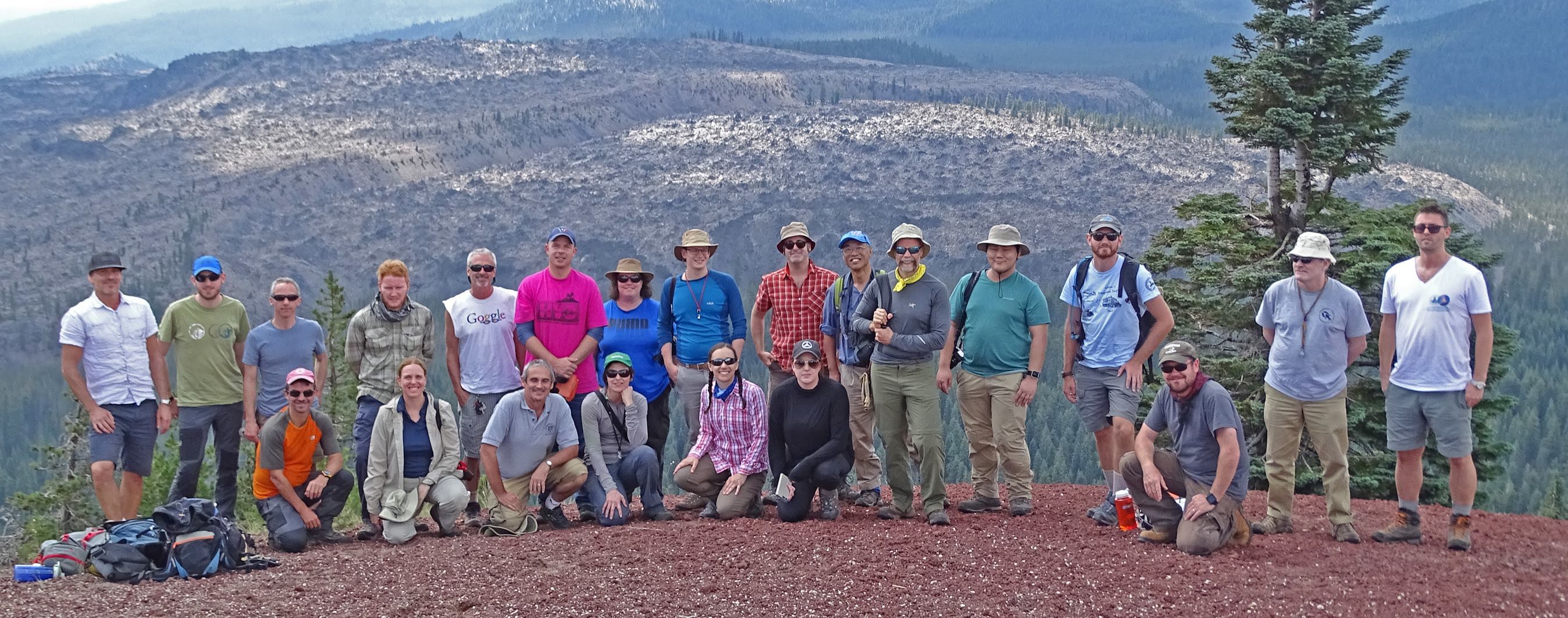
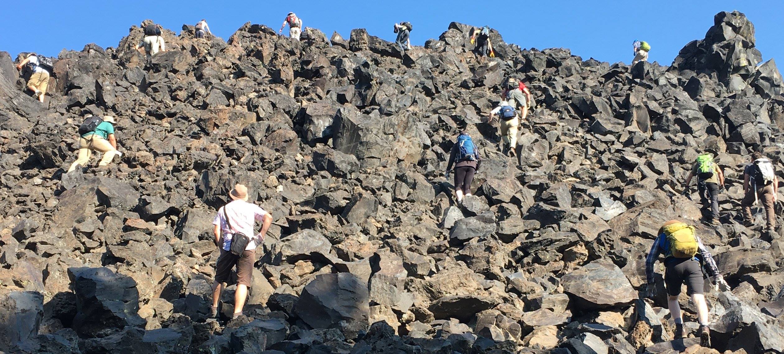
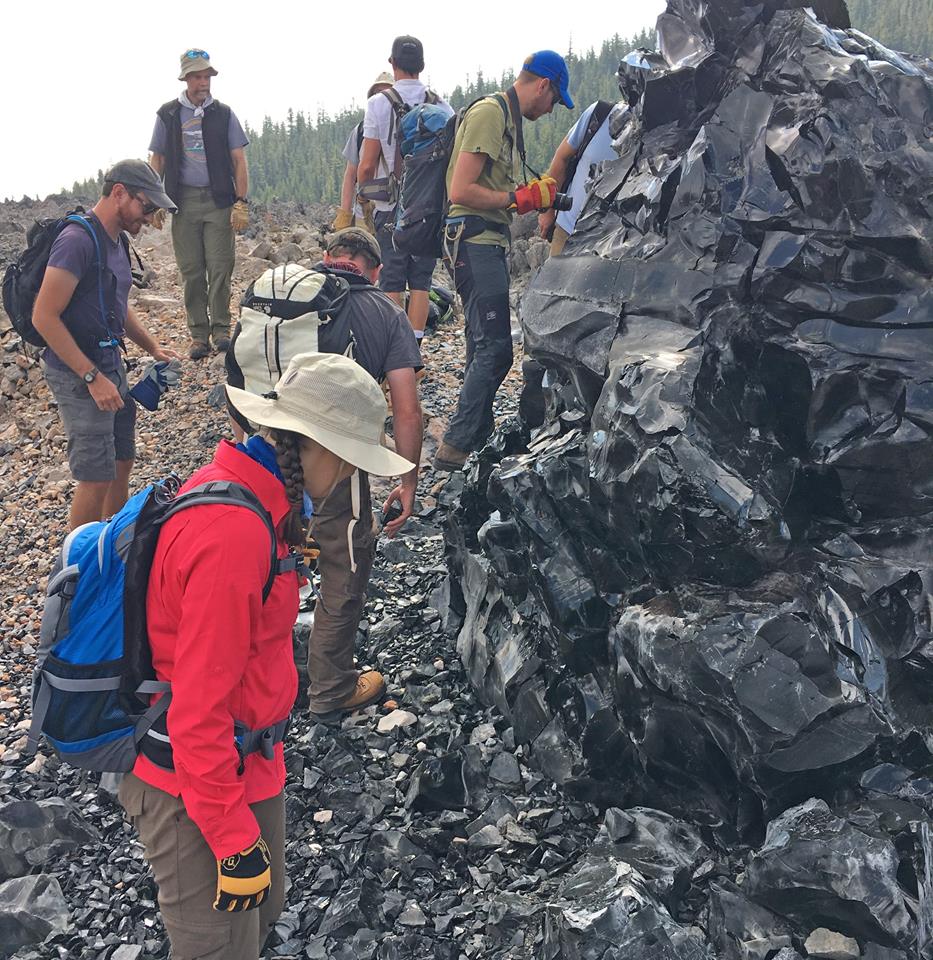
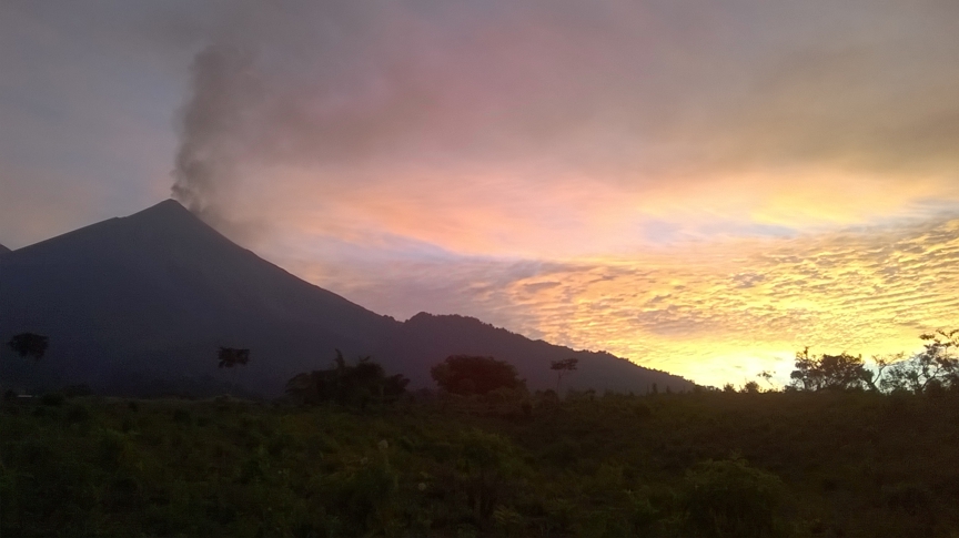
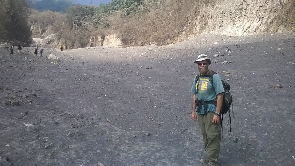
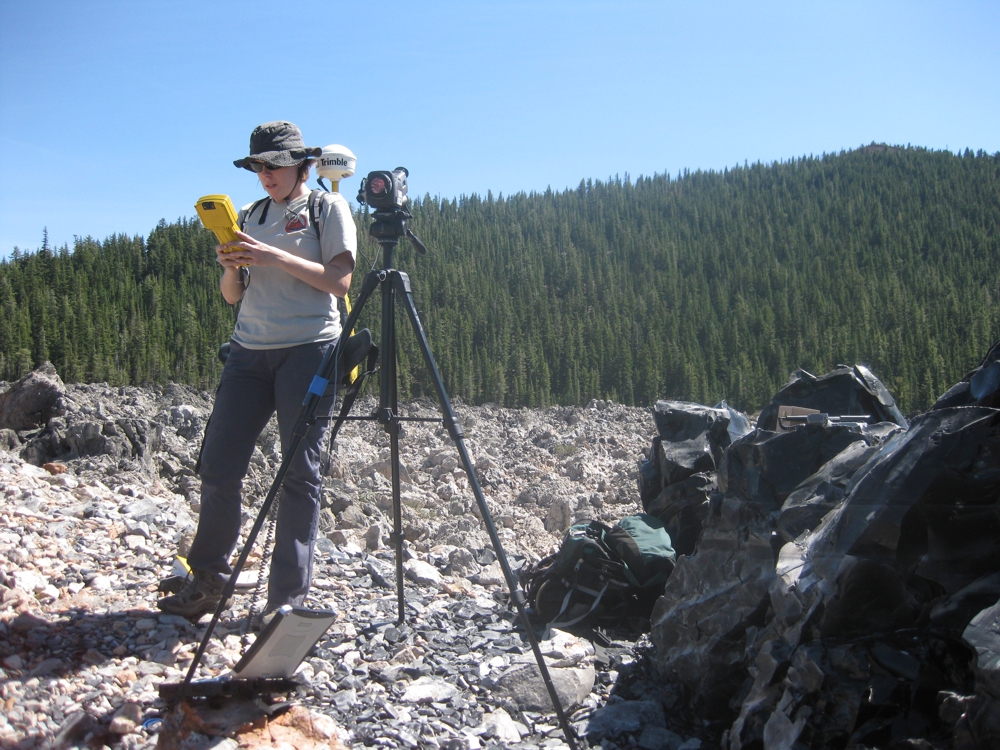
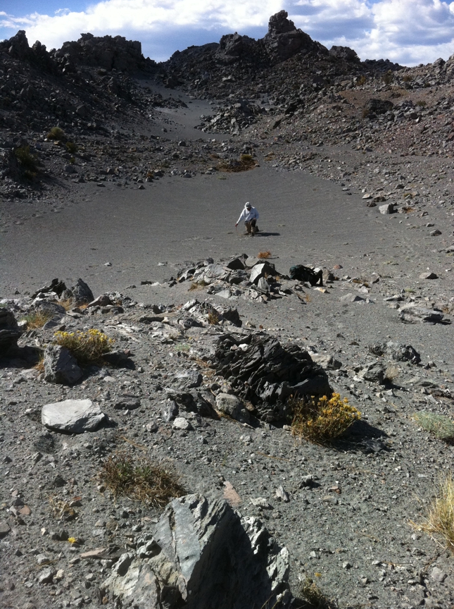
The Image Visualization and Infrared Spectroscopy (IVIS) Laboratory is designed to function as a state-of-the-art image analysis, infrared spectroscopy and GPS laboratory. Currently, the lab contains approximately 1.5 terabytes (TB) of disk storage housed on an online RAID disk array and managed by Sun Ultra-10 Sparc workstation/server (dual OS - Solaris 8/Win2000), two Sun Blade 100 workstations and two Dell Dimension 4550 computers. Peripherals include numerous CDROM and DVD readers/writers, an Exabyte tape drive, and an HP duplex color laser printer. A complete graphics station is powered by a MacIntosh G4 computer and contains a large format scanner, a Nikon LS-2000 35mm Film Scanner, and a Polaroid ProPalette 7000 Film Recorder.

The lab archives an extensive collection of NASA airborne and spaceborne visible near infrared (VNIR), short wave infrared (SWIR) and thermal infrared (TIR) data for many locations throughout the western US, Hawaii, and Alaska, as well as the TIR data from Mars. Image processing and analysis is carried out using a variety of in-house software packages, as well as ERDAS Imagine, RSI ENVI, and the full suite of Adobe and Corel software. The IVIS facility is now coordinating and archiving data for several major objectives of the ASTER instrument onboard the Terra spacecraft (including global data of active volcanoes, urban centers, and deserts).

The laboratory houses a Nicolet Nexus 670 FTIR spectrometer with the capability to collect concurrent reflectance and emissions spectra over the 0.4 - 25 micron wavelength region. The spectrometer is used to collect data of soil, rock, vegetation and man-made samples to aid in the quantitative compositional analysis of remote sensing data. Field-based data equipment includes: a new forward-looking infrared (FLIR) S40 thermal camera; two laptop computers for field image processing and equipment operation; a Trimble differential GPS Pathfinder Pro XRS unit with a Laser Tech 3-D profiling system; an Exotech hand-held radiometer; as well as Nikon photographic equipment.

Within the Department of Geology and Planetary Science is the Geographical Information Systems (GIS) and Remote Sensing (RS) teaching laboratories. They both serve as teaching facilities, but are open and available to department personnel. The GIS Lab contains ten Dell Dimension and five Gateway workstations. The RS Lab includes ten Sun Ultra-10 dual-OS systems (Solaris/Win2000) workstations, a Sparc Ultra-2 dual-processor server with 1.3 GB RAM and a 400 GB disk array, a large format plotter/printer, and miscellaneous I/O hardware. Software includes all the major GIS and remote sensing packages (Arc/Info and Arcview, ERDAS Imagine, ERMapper and ENVI/IDL).


IVIS Laboratory
Geology and Planetary Science Dept.
500 SRCC Building
University of Pittsburgh
Pittsburgh, PA 15260
Maintained by: Michael Ramsey, Ph.D.
Last Updated: Monday, 08-Aug-2005 11:37:05 EDT